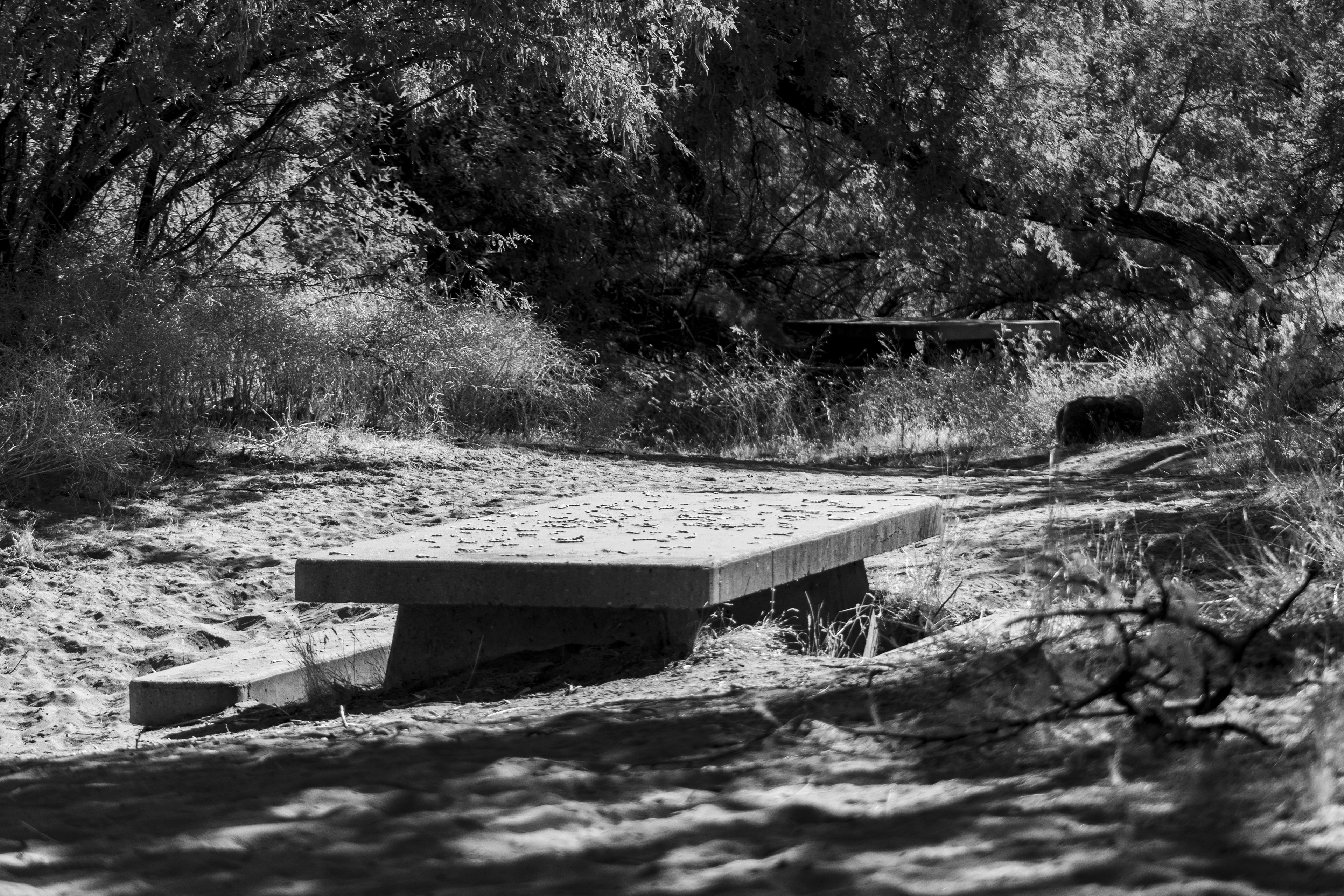
I still need to dig deeper to find the history behind this photo of the concrete picnic table buried in silt and sand on the high banks of the Lower Salt River. My educated guess is this is part of the 700 projects of the Civilian Conservation Core in the 1930’s.
I can only imagine the story of where these tables came from and what happened to them. It is a sign of a flood, which isn’t unusual considering there are six dams leading up to this area from the Verde River feeding Horseshoe Lake to Bartlett Lake. The Upper Salt River and its tributaries feeding Roosevelt Lake, Apache Lake, Canyon Lake, and Saguaro Lake. A heavy rain could swell the river three miles wide like it did in 1891.
Like the old motels along Route 60 this area makes me think of a time people would picnic here in the summer heat. The Salt River is cool and refreshing as Saguaro Lake releases the cold water upstream.
Then one day a tragic flood reclaimed the land manicured by the interlopers.